
Delhi, the capital city of India, has a rich history of natural landscapes that have been gradually disturbed and transformed as the city developed over time. Delhi’s region has a varied topography, characterized by the Yamuna River, floodplains, and the Aravalli Range. These natural features have significantly shaped the city’s landscape and influenced its susceptibility to flooding during the monsoon season.
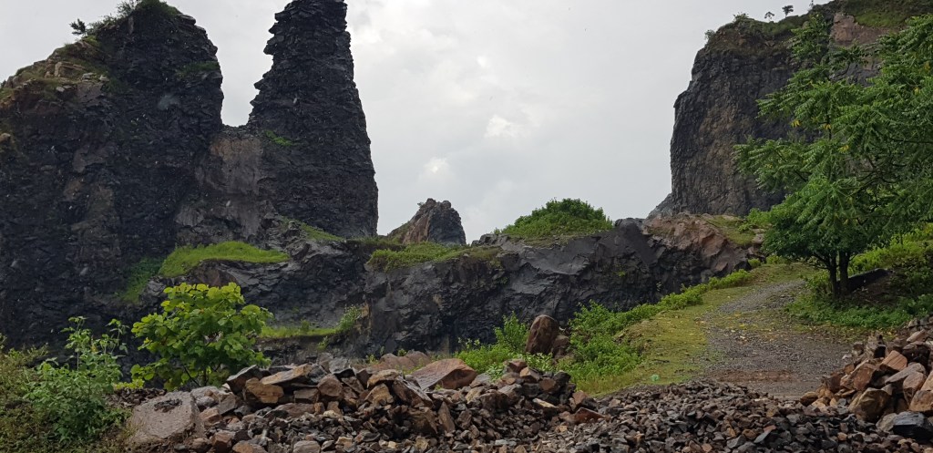
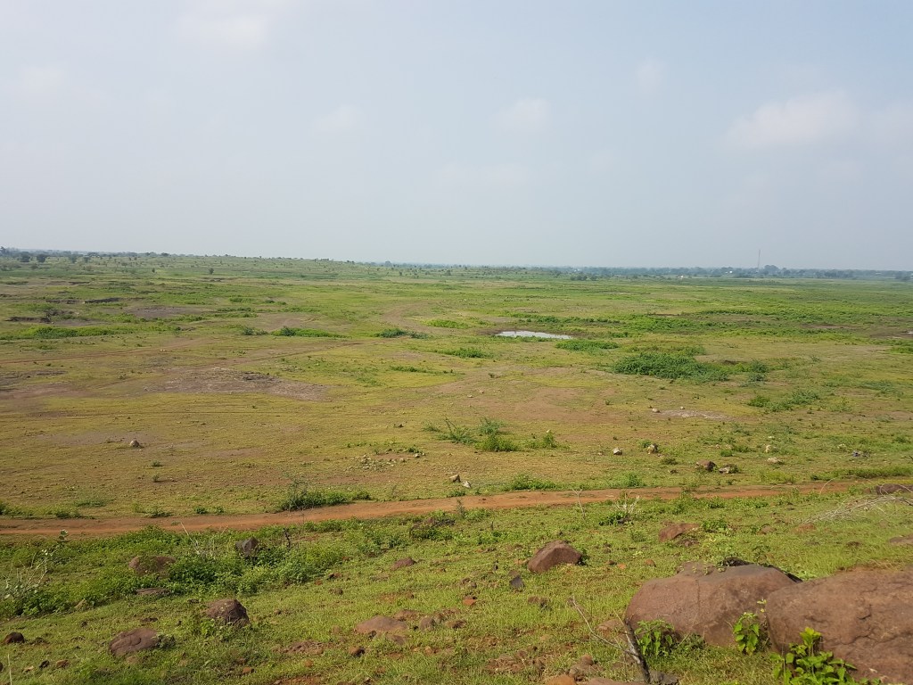
Historically, Delhi’s landscape was interspersed with forests, wetlands, and water bodies, which provided ecological balance and served as natural water reservoirs. The Yamuna River, flowing through the city, was an essential lifeline, sustaining agriculture and serving as a source of water for both humans and wildlife. The floodplains alongside the river were characterized by extensive grasslands and marshes that helped absorb excess rainwater and regulate the river’s flow.
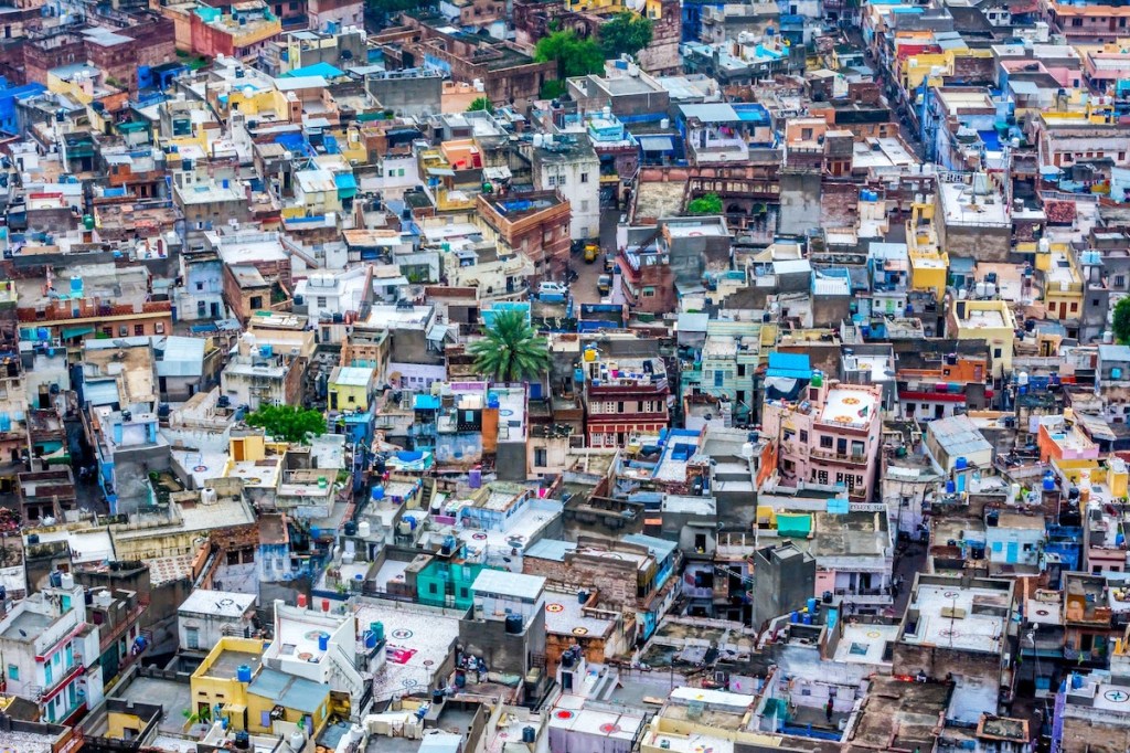
However, as Delhi urbanized and developed into a metropolis, the natural landscape underwent significant changes. Expanding infrastructure, population growth, and rapid urbanization led to the conversion of agricultural land, wetlands,
and forests into built-up areas. This encroachment on natural spaces disrupted the ecological balance and reduced the city’s natural resilience to floods.
The rapid construction of buildings, roads, and concrete structures has led to increased surface runoff during the monsoon season. With limited green spaces and vegetation to absorb rainwater, the excess water flows rapidly into the drainage system, overwhelming it and leading to flooding in many areas of the city. Additionally, the encroachment and narrowing of the Yamuna floodplains have further limited the river’s capacity to contain excess water, exacerbating flood risks.
In recent years, Delhi has witnessed severe flood situations during the monsoon season due to climate change. The inadequate drainage infrastructure, combined with the loss of natural water reservoirs and the encroachment on the floodplains, has intensified the flood risks faced by the city.
Some areas include Nagar-Jahangirpuri Metro Station, Anand Parbat Road, Archana T-point (Greater Kailash), Adarsh Nagar-Hakikat, Mukarba Chowk to Model Town via Azadpur, Bhishma Pitamaha Marg towards Pragati Vihar Hostel, Hansraj Gupta Marg, and DND Flyover towards Maharani Bagh, a few to name likely face heightened flood risks due to a combination of factors. Firstly, their geographical location might make them
and forests into built-up areas. This encroachment on natural spaces disrupted the ecological balance and reduced the city’s natural resilience to floods.
The rapid construction of buildings, roads, and concrete structures has led to increased surface runoff during the monsoon season. With limited green spaces and vegetation to absorb rainwater, the excess water flows rapidly into the drainage system, overwhelming it and leading to flooding in many areas of the city. Additionally, the encroachment and narrowing of the Yamuna floodplains have further limited the river’s capacity to contain excess water, exacerbating flood risks.
In recent years, Delhi has witnessed severe flood situations during the monsoon season due to climate change. The inadequate drainage infrastructure, combined with the loss of natural water reservoirs and the encroachment on the floodplains, has intensified the flood risks faced by the city.
Some areas include Nagar-Jahangirpuri Metro Station, Anand Parbat Road, Archana T-point (Greater Kailash), Adarsh Nagar-Hakikat, Mukarba Chowk to Model Town via Azadpur, Bhishma Pitamaha Marg towards Pragati Vihar Hostel, Hansraj Gupta Marg, and DND Flyover towards Maharani Bagh, few to name likely face heightened flood risks due to a combination of factors. Firstly, their geographical location might make them
more susceptible to heavy rainfall and water accumulation. For instance, low-lying areas, proximity to water bodies, or insufficient drainage infrastructure can contribute to the vulnerability of these stretches. Secondly, the urbanization and development in these areas might have compromised the natural water drainage systems. The construction of buildings, roads, and other infrastructure can disrupt the natural flow of water, leading to increased surface runoff and potential flooding.
Replacing new high-rise buildings in cities with not much space between two with excessive concretization, congested roads, & no green space between also responsible to contribute to waterlogging and the creation of heat islands, which are areas with significantly higher temperatures compared to their surrounding areas. Here’s how these issues can arise:
- Reduced Permeable Surface: High-rise buildings typically have larger footprints and are constructed with extensive concrete and asphalt surfaces. These impervious surfaces prevent rainwater from infiltrating the ground, leading to increased surface runoff. The water has limited pathways for absorption, resulting in waterlogging during heavy rainfall events.
- Inadequate Drainage Infrastructure: As cities grow and new buildings are constructed, the existing drainage infrastructure may become insufficient to handle the increased volume of stormwater runoff. The lack of proper drainage systems exacerbates waterlogging issues as the excess water has no efficient outlet, causing it to accumulate on the streets and in low-lying areas.
- Disruption of Natural Drainage Patterns: Construction of high-rise buildings often involves altering the natural topography of an area. This can disrupt natural drainage patterns, such as redirecting the flow of water or blocking natural channels. Consequently, water may accumulate in unexpected areas, leading to localized flooding and waterlogging.
- Heat Island Effect: High-rise buildings contribute to the urban heat island effect, where cities experience higher temperatures compared to the surrounding rural areas. Tall buildings cast shadows, limiting the penetration of sunlight and reducing air circulation, resulting in trapped heat. Additionally, the materials used in constructing high-rise buildings, such as concrete and glass, absorb and retain heat, further raising temperatures in the immediate vicinity.
- Reduced Green Spaces: Constructing high-rise buildings often involves clearing green spaces & vegetation. The removal of trees & vegetation reduces the cooling effect provided by shade & transpiration, leading to increased temperatures. Green spaces play a crucial role in regulating temperature, reducing heat, & absorbing rainwater, which is majorly lacking in new planning.
All the above facts highlight an important and widely recognized reality: as climate change progresses, cities will indeed face significant challenges, such as increased flooding and heatwaves. These urban areas, with their dense populations and extensive infrastructure, are particularly vulnerable to the impacts of climate change.
Therefore, city planners must prioritize resilience and explore innovative solutions.
The concept of weaving nature back into the urban fabric is a promising approach. Historically, many cities were built in harmony with their natural surroundings, but rapid urbanization and development have often resulted in the degradation or neglect of natural elements within cities. By reintegrating nature into urban areas, city planners can harness the numerous benefits it offers.
Nature-based solutions, such as green roofs, urban parks, lakes, and tree-lined streets, can help mitigate the effects of climate change. Vegetation helps reduce the urban heat island effect, lower temperatures, and improve air quality. Green spaces and lake sites in cities play crucial roles in mitigating the adverse effects of urbanization and climate change. They contribute to temperature reduction by providing shade and promoting cooling through evapotranspiration. Moreover, these natural elements act as effective stormwater management tools, absorbing and storing rainwater to minimize runoff, ultimately helping to prevent flooding during heavy rainfall events.